 |
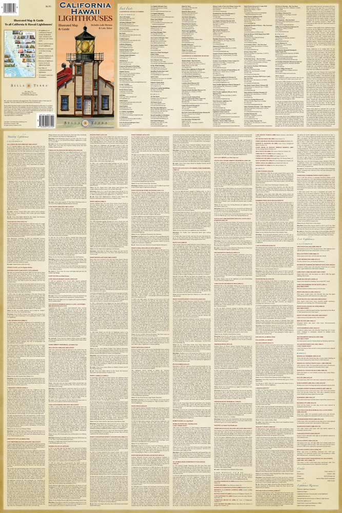
| Cover: Point Cabrillo, CA. |
After many long months, at last [Mostly Silent Partner: "Finally!"] our all-new CALIFORNIA & HAWAII LIGHTHOUSES: Illustrated Map & Guide is at the printer. We expect to start shipping orders within two weeks.
The watercolor illustrations are by the talented, fast-working and ever-cheerful Gerald C. (Jerry) Hill, who did all the paintings for our Northwest, Southeast and Florida lighthouse maps, plus the cover and a good chunk of the interior illustrations for United States Lighthouses.
STATS
Time, start to finish: 13 months.
Personnel: 2 cartographers, 1 illustrator, 1 graphic designer,
1 art director/writer/editor, 1 whipper-in.
Photos viewed for art research: 7500+
Illustrations: 31
Hours spent on historical research: Don't ask.
Text: 19,319 words
Cartography Drafts:
- California map: 28
- Hawaii map: 12
- Lake Tahoe inset: 9
- Lake Havasu inset: 9
- Bay Area inset: 7
Production Drafts:
- Mapside: 4
- Textside: 10
 Click on images to view at 1000px.